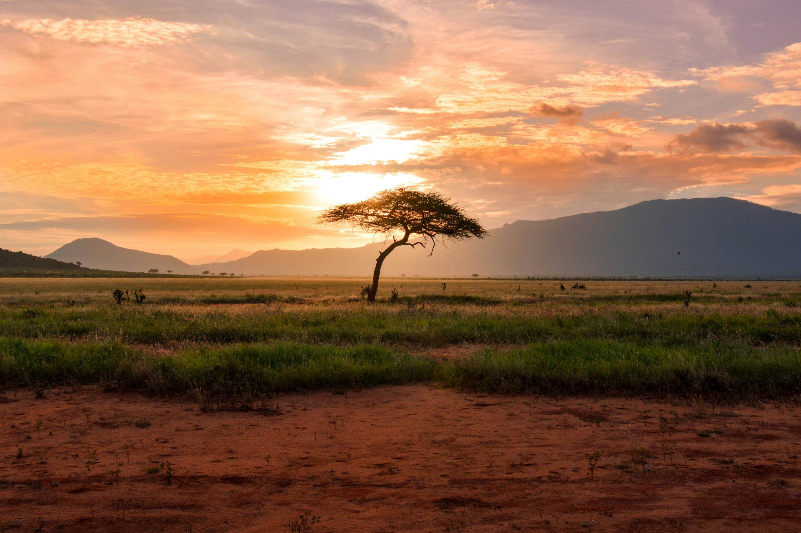

It's common to underestimate the size and scale of South Africa, and even looking at a globe or online map can make countries appear smaller or larger than they really are. One reason people often ask "how big is South Africa" is because the country contains such a diverse range of climates, landscapes and communities spread across a vast area.
square kilometres. This makes it one of the largest countries in Africa.
When you study a map of South Africa, you will notice how far the country stretches from north to south and from east to west. Bear in mind that this scale impacts everything from transport networks and economic activity to tourism and education.
The country's position at the southern tip of Africa also locates it alongside several important neighbours. The neighbouring countries of South Africa include Namibia, Botswana, Zimbabwe, Mozambique, Eswatini, and Lesotho, which, interestingly, is completely surrounded by South African territory.
Many interesting facts about South Africa and its geography and demographics, make sense once you appreciate the country's sheer size. For instance, distances between major cities can be considerable, while environmental conditions can vary significantly across different regions.


Comparing South Africa to Other Countries
If you are studying the topic of South Africa size, one of the best ways to do this is through comparison to other countries.
South Africa is substantially larger than many European countries that often receive considerable international attention.
Larger Than Germany
Germany covers approximately 357 000 square kilometres, but South Africa is more than three times larger.
Larger Than France
France covers approximately 551 000 square kilometres, but South Africa is more than twice its size.
Larger Than Spain
Spain occupies approximately 506 000 square kilometres and South Africa is considerably larger.
If you find yourself in a discussion about how big is South Africa, comparisons like these can help place the country's scale into perspective. Many people are surprised to learn how extensive the country is when compared with other well-known nations.
| Country | Approximate Area |
|---|---|
| Germany | 357,000 km² |
| Spain | 506,000 km² |
| France | 551,000 km² |
| South Africa | 1.22 million km² |
Have you ever studied a map of South Africa alongside maps of European countries? Which of SA's nine provinces is bigger than a European country?
South Africa and Its Neighbours
The country's geographical position creates important environmental, economic and cultural connections across Southern Africa. In addition, the neighbouring countries of South Africa also contribute to regional tourism, trade, and migration patterns. They are:
Understanding the neighbouring countries of South Africa helps explain why border crossings, major transport routes and trade corridors play such an important role in the region. These borders create interesting discussions about South Africa and its position within the African continent.
Comparing South Africa's Provinces
The scale of the country becomes even more interesting when comparing its provinces.
Northern Cape
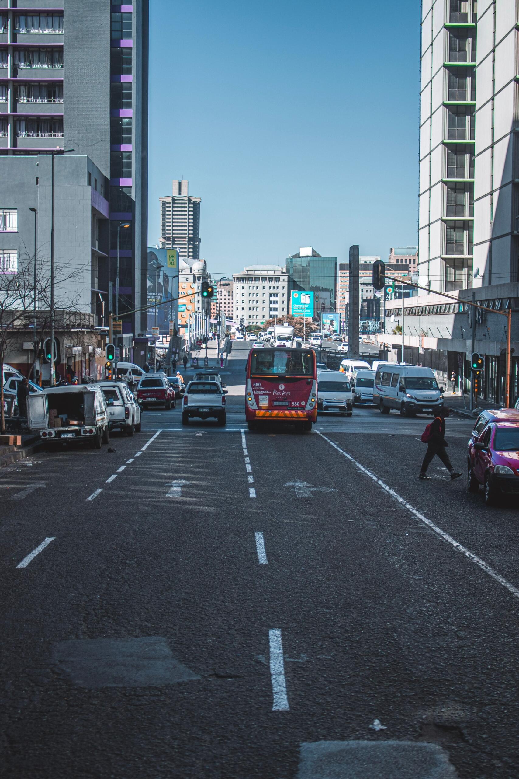
The Northern Cape, the largest province by area, occupies nearly one-third of the country's total land area yet contains the smallest population.
Gauteng
Gauteng, the smallest province by land area, has the largest population and the highest population density.
Other Large Provinces
The Eastern Cape and Limpopo are also geographically extensive provinces with diverse landscapes and communities.
One reason people ask how big is South Africa is because provincial differences can be dramatic, and travelling across a large province often requires several hours of driving, even before crossing provincial borders.
| Province | Approximate Area (km²) |
|---|---|
| Northern Cape | 372,889 |
| Eastern Cape | 168,966 |
| Free State | 129,825 |
| Western Cape | 129,462 |
| Limpopo | 125,754 |
| North West | 104,882 |
| KwaZulu-Natal | 94,361 |
| Mpumalanga | 79,490 |
| Gauteng | 18,178 |
When it comes to topics on South Africa size, these differences highlight the remarkable variety of environments found within the country's borders.
For a broader perspective on regional differences, you may enjoy learning how culture, geography and history vary across South Africa's provinces.
The Northern Cape covers a much larger area than Gauteng, and yet Gauteng contains many more people.
Distances Shape Everyday Life
Of course, the country's size influences how people travel, work, and access services. In fact, many important facts about South Africa are linked directly to distance because long journeys between cities impact tourism, logistics, education, and economic development.
For example, travelling from one province to another can involve crossing hundreds of kilometres of farmland, mountains, semi-arid landscapes, or coastal regions.
Understanding South Africa size and how it impacts economics, can help explain why domestic flights remain important alongside road and rail transport.
In South Africa, a journey between cities can reveal entirely new landscapes, climates, and communities.
One of the easiest ways to appreciate South Africa's size is by looking at the distances between its major cities. Although modern road, rail, and air transport make travel relatively accessible, journeys between provinces can cover hundreds or even thousands of kilometres. These long distances reflect the country's large land area of approximately 1,22 million square kilometres and its diverse geography, which ranges from coastal plains and mountain passes to inland plateaus.
Road travel remains an important mode of transport for both residents and visitors. South Africa's national road network connects all nine provinces, with major routes such as the N1, N2, and N3 linking the country's largest cities and economic centres. Travel times by road vary according to the chosen route, traffic conditions, roadworks, and weather, while domestic flights provide a much faster alternative between the country's busiest airports.
Cape Town to Johannesburg
Travelling between Cape Town and Johannesburg highlights the scale of South Africa. The road journey covers approximately 1 400 kilometres, depending on the route taken, and typically requires 14 to 16 hours of driving, excluding rest stops. Most motorists travel via the N1 national road, which passes through the Western Cape, Northern Cape and Free State before reaching Gauteng. By comparison, a direct commercial flight usually takes around two hours, making air travel the preferred option for many business and leisure travellers.
14-16 hours
driving time, excluding rest stops
Cape Town to Johannesburg
1400km
by road
depending on route
2 hours
by flight
Durban to Pretoria
The journey from Durban to Pretoria demonstrates the connection between South Africa's east coast and the inland Highveld. The road distance is approximately 630 kilometres, with a typical driving time of six to seven hours, depending on traffic and weather conditions. Most travellers use the N3 national road, one of the country's busiest transport corridors, linking the Port of Durban with Gauteng. A direct flight generally takes around one hour and ten minutes.
6 to 7 hours
driving time
Durban to Pretoria
630km
by road
depending on weather and traffic
1 hour 10 min
by flight
Cape Town to Durban
Travelling from Cape Town to Durban by road covers approximately 1 600 kilometres, making it one of the country's longest intercity journeys. Depending on the route and traffic conditions, the drive usually takes between 16 and 18 hours. Motorists may follow the scenic N2 coastal route or travel inland before heading east. A direct flight takes approximately two hours, offering a considerably shorter travel time than driving.
16 to 18 hours
driving time
Cape Town to Durban
1600km
by road
depending on route
2 hours
by flight
Gqeberha to Johannesburg
The route between Gqeberha and Johannesburg illustrates the distance between South Africa's south-eastern coastline and its largest inland city. The road journey is approximately 1,050 kilometres and generally takes 10 to 11 hours by car, depending on traffic and road conditions. Direct flights between the two cities usually take around one hour and 45 minutes, making them a practical choice for travellers covering long distances.
10 to 11 hours
driving time
Gqeberha to Johannesburg
1050km
by road
depending on route
1 hour 45 min
by flight
These travel times illustrate how South Africa's geography influences everyday movement. While air travel significantly reduces journey times between major cities, the country's extensive road network continues to play a vital role in connecting provinces, supporting tourism, facilitating trade, and enabling the movement of people and goods across long distances.
If you are curious about where people live in South Africa, you may enjoy exploring population patterns and the factors that influence where South Africans choose to live.
Geographic Diversity Across the Country
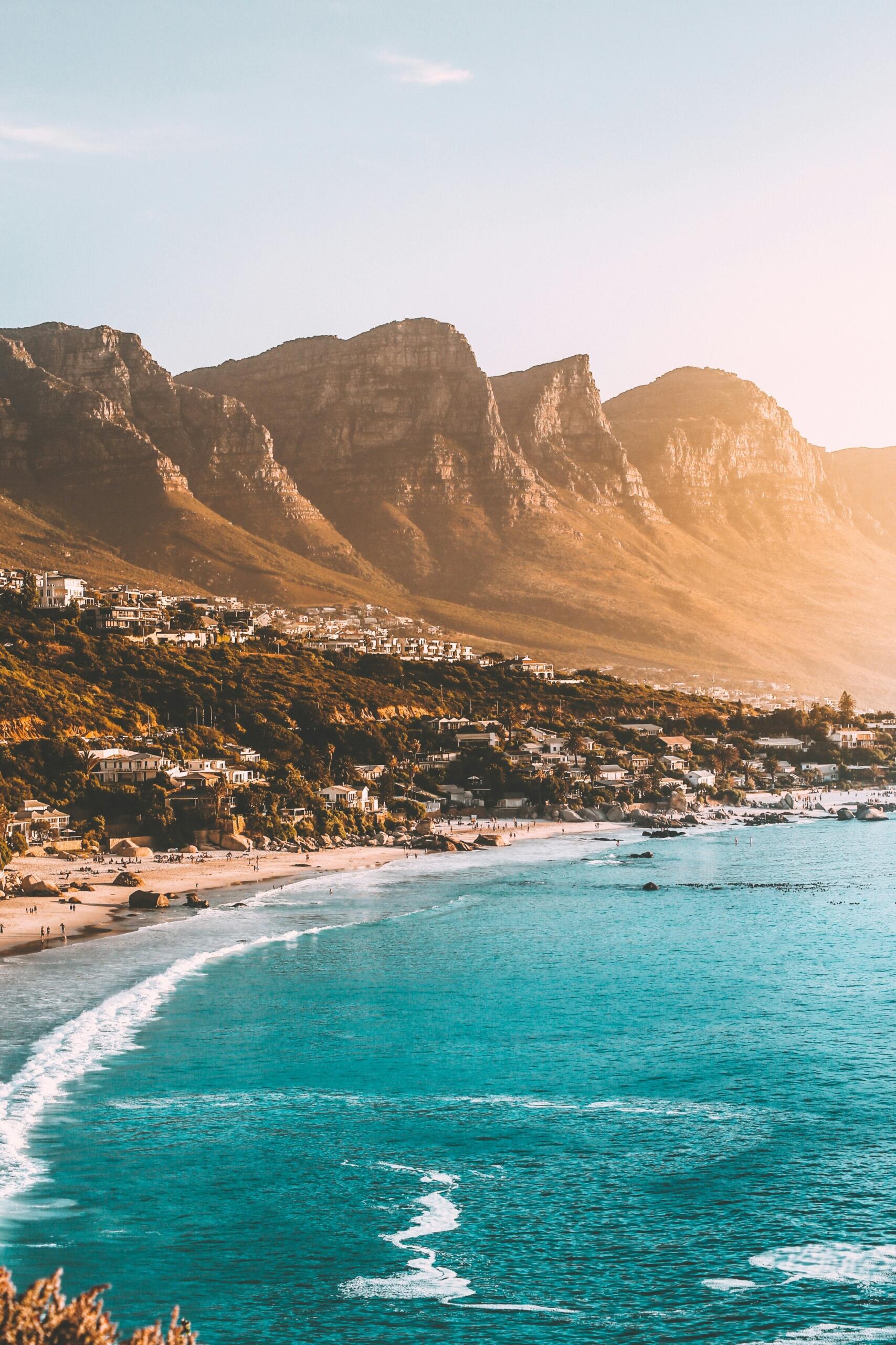
Another remarkable aspect of the country is its environmental diversity. Looking at a relief map of South Africa, you could identify mountain ranges, coastlines, grasslands, forests, deserts, and semi-arid regions. This is quite startling considering that few countries contain such a variety of landscapes within a single national boundary.
Mountains
The Drakensberg mountains form one of Southern Africa's most spectacular natural features, while the Cederberg and Outeniqua mountains also contribute to the country's dramatic scenery.
Coastline
South Africa has more than 2,500 kilometres of coastline stretching along both the Atlantic and Indian Oceans. In addition, the coastline supports tourism, fishing, shipping, and biodiversity.
Savanna
Large parts of the country's interior consist of savanna ecosystems, which support agriculture and many iconic wildlife species.
Semi Arid Regions
Areas such as the Karoo show how climate can vary across the country. These dry landscapes are in sharp contrast with coastal forests and subtropical regions. These differences about South Africa have made it famous all over the world.
The diversity found across the country provides many fascinating insights about South Africa and its environmental richness.
Why Size Matters
The scale of the country affects many aspects of daily life.
Infrastructure
Building and maintaining roads, railways, power networks, and communication systems across such a large territory requires significant investment.
Transport
Distance influences both personal travel and commercial logistics because goods often move hundreds of kilometres between producers, warehouses, and consumers.
Education Access
In some rural areas, learners have to travel considerable distances to reach schools and educational facilities.
Economic Development
Regional development patterns are also shaped by geography. In a nutsell, major cities attract investment and employment opportunities, while remote areas may face different challenges.
The neighbouring countries of South Africa also play a vital role in trade and regional economic cooperation. Cross-border transport routes connect communities and businesses throughout Southern Africa.
Ultimately, an answer to how big is South Africa, could include explanations about the emphasis on infrastructure and transport development.
South Africa in a Regional Context
The country's size influences its role within the region.
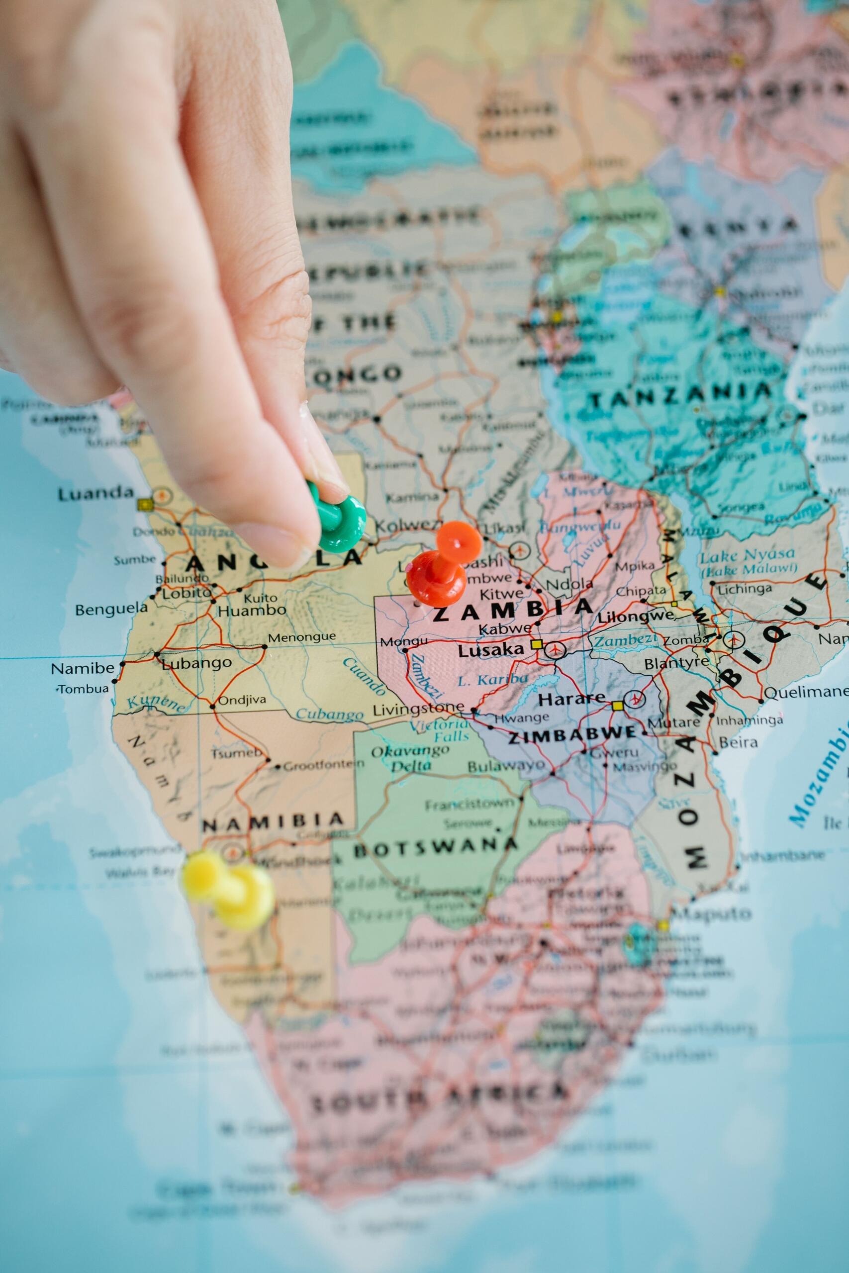
The neighbouring countries of South Africa depend on shared transport corridors, trade routes, and economic partnerships. These strategic connections strengthen regional cooperation while also supporting economic growth.
Many discussions about South Africa revolve around its position as one of the largest and most economically significant countries in Southern Africa.
Studying a map of South Africa alongside neighbouring nations also highlights the strategic importance of ports, border crossings, and transport infrastructure.
The neighbouring countries of South Africa continue to contribute to cultural exchange, tourism, and regional development.
It's Not Just the Size
When considering the question "how big is South Africa" land area tells only part of the story.
The country's size influences how people travel, where communities develop, and how resources are managed. It also contributes to extraordinary environmental diversity, from mountain ranges and coastlines to grasslands and semi arid regions.
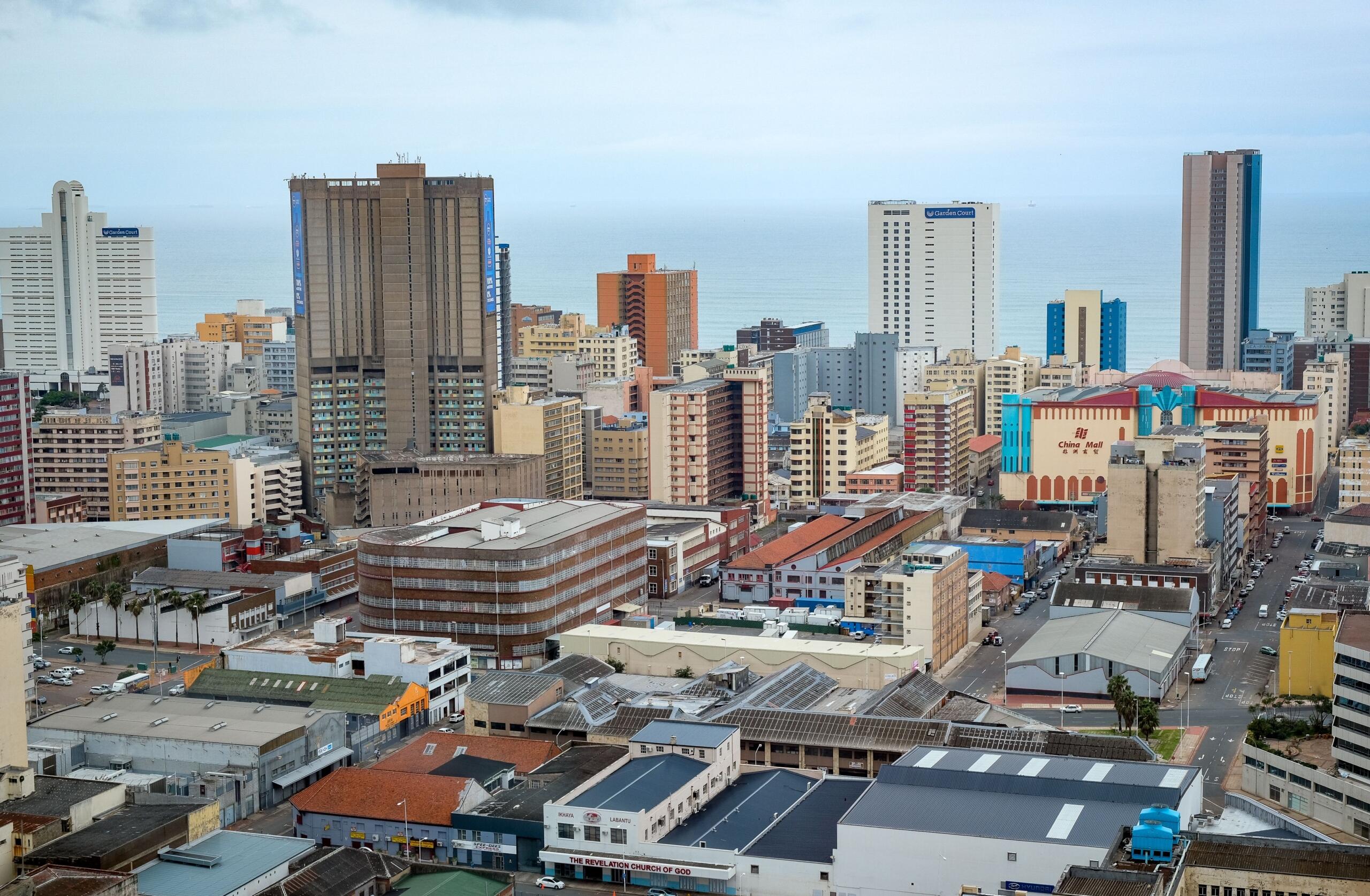
Many of the most interesting facts about South Africa become easier to understand when viewed through the lens of geography and scale.
The country's extensive area helps support diverse ecosystems, varied climates, and a rich cultural landscape that continues to evolve.
The question "how big is South Africa?" reveals much more than a simple measurement of land area.
South Africa covers approximately 1,22 million square kilometres and contains an impressive variety of landscapes, climates, and communities. Ultimately, the country's size influences infrastructure, travel, education, economic activity, and environmental diversity.
Understanding topics on South Africa size provides valuable context for learning about South Africa, its people, and its geography. Whether you are examining cities, ecosystems, transport routes, or the neighbouring countries of South Africa, the country's scale remains one of its defining characteristics.
Who knows, the next time you look at a map of South Africa, you may find yourself seeing the country from an entirely new perspective.
References
- South African National Roads Agency SOC Ltd (SANRAL): https://www.nra.co.za
- South African Government – Transport: https://www.gov.za/about-sa/transport
- Google Maps route distances (standard road network measurements)
Summarise with AI:
Enjoyed this article? Leave a rating!

 Loading...