
South Africa is a country where water shapes the landscape in quiet but powerful ways. When you travel through the countryside, you quickly notice how rivers cut through valleys, how dams collect rainfall from distant mountains, and how waterfalls tumble over cliffs that were formed millions of years ago. These freshwater systems influence farming, wildlife, and even the way towns and cities grow.


Water Means Connection
If you spend time exploring the rivers of South Africa, you begin to see how closely they connect the country’s geography. A river that begins in the mountains of KwaZulu Natal may eventually cross dry plains in the Northern Cape. Along the way, it feeds communities, wildlife reserves, farms, and wetlands. Understanding the rivers of South Africa helps you appreciate how water moves through the land and why it is such a vital natural resource.
Freshwater landscapes also offer something special for families, teachers, and learners. Rivers, lakes, dams, and waterfalls turn the outdoors into a living classroom. When you visit them, you are not just enjoying scenery. You are seeing geography, geology, and ecology in action.
Don't miss our article, which explores the remarkable natural landmarks, including waterfalls and canyons that are closely connected to the rivers of South Africa.
Why Freshwater Matters in South Africa
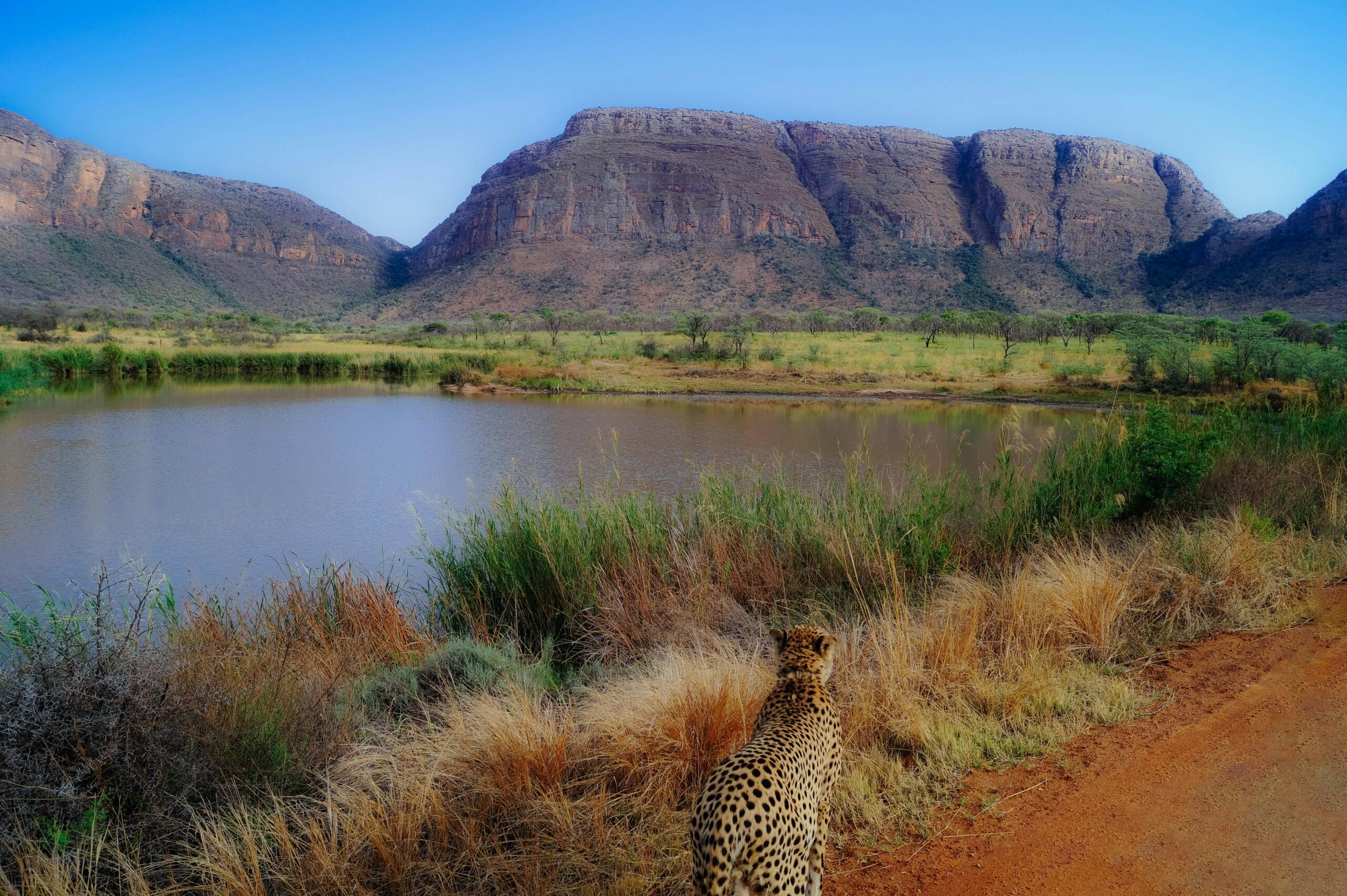
South Africa is classified as a water-scarce country because rainfall is uneven across the country, with large areas receiving far less water than others. Because of this, South Africa's rivers play an essential role in supporting life and economic activity.
Many towns and cities rely on river systems that begin far away in mountainous regions. For example, the famous Orange River begins high in the Drakensberg and eventually flows all the way to the Atlantic Ocean.
You may already know some of the major rivers in South Africa. These waterways form natural boundaries, support irrigation systems, and feed massive dams that provide drinking water to cities.
Here are a few of the major rivers in South Africa you will often see on maps or in school geography lessons:
The Orange River
The Limpopo River
The Vaal River
The uMngeni River
If you grew up in Gauteng, you may have visited the Vaal Dam on a school trip. Learners often study water management there, because the Vaal River system supplies water to Johannesburg and Pretoria.
A question that often comes up in classrooms is which river is the longest in South Africa. When teachers ask this question, they are usually encouraging learners to think about how rivers travel across landscapes and international borders.
from its Lesotho source to the Atlantic Ocean.
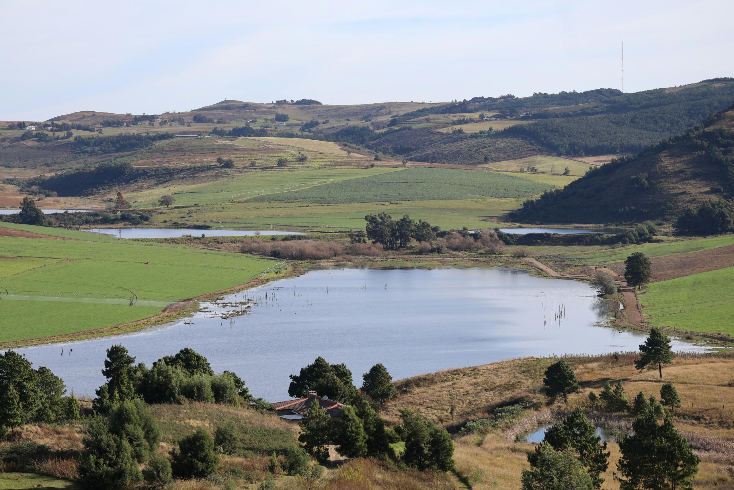
Lakes and Dams Across the Country
South Africa does not have many natural lakes compared with some other countries. Instead, much of the country’s stored water sits in large reservoirs created by dams. Still, when people talk about lakes in South Africa, they often include these dammed reservoirs because they function like lakes in everyday life.
Many popular holiday destinations are built around these bodies of water. Families go boating, fishing, or birdwatching, while schools often organise geography outings nearby.
Some of the well known lakes in South Africa include:
Lake St Lucia is particularly special because it forms part of the iSimangaliso Wetland Park, a UNESCO World Heritage Site. Here, you can see hippos, crocodiles, and hundreds of bird species.
Many geography learners also study lakes when they learn about wetlands, biodiversity and the climate. For instance, did you know that wetlands act as natural filters that improve water quality and provide important habitats for wildlife?
If you explore lakes in South Africa, you will quickly notice that they also support tourism and towns such as Hartbeespoort have built entire economies around dam-based recreation.
Waterfalls That Shape the Landscape
South Africa’s waterfalls are among the most dramatic freshwater features in the country. They form when rivers drop suddenly over cliffs or resistant rock layers. Over time, the force of falling water erodes the rock and shapes deep valleys.
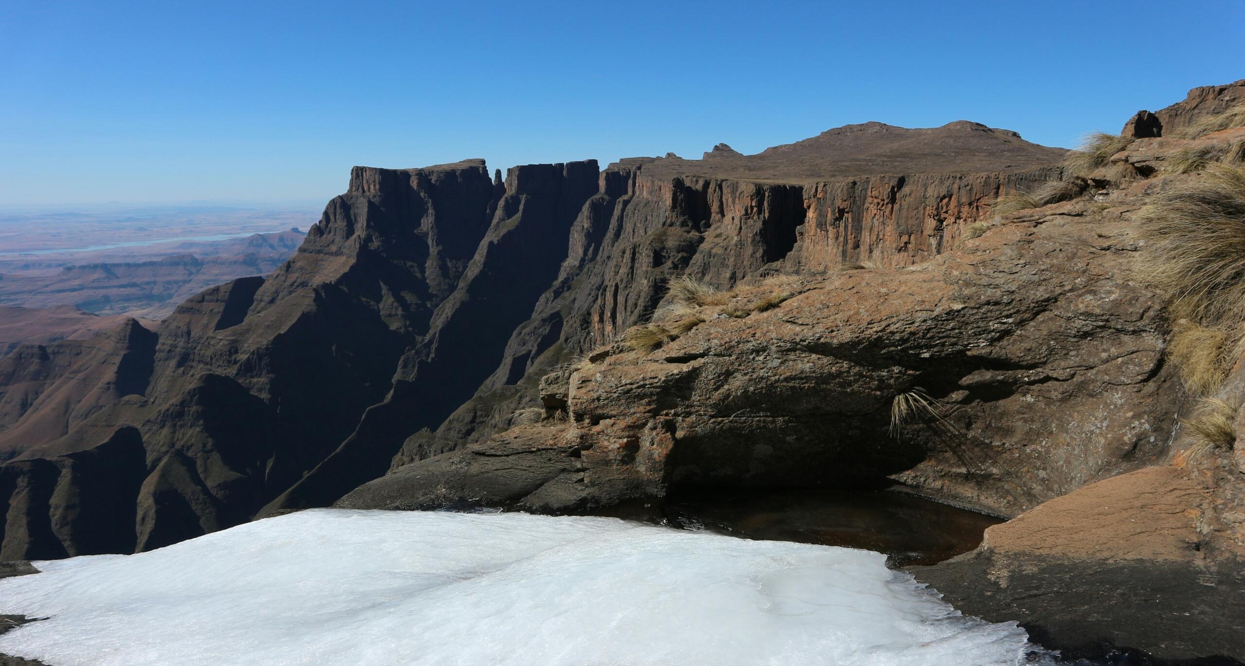
The most famous example is Tugela Falls in the Drakensberg. This spectacular cascade plunges from the edge of the mountains in a series of drops.
Many hikers visit the Royal Natal National Park just to see the highest waterfall in South Africa spilling over the cliffs after summer rains.
Another beautiful region for waterfalls is Mpumalanga, especially around the Panorama Route. Here you will find:
- Lisbon Falls
- Berlin Falls
- Mac Mac Falls
Lisbon Falls is the tallest waterfall in Mpumalanga at about 94 metres with nearby viewpoints that allow you to watch water plunge into a lush forested gorge.
When learners visit places like this, it is possible to see erosion and rock formation processes in real time, while the teacher may point out how the rock layers control where waterfalls form.
in KwaZulu Natal is the highest waterfall in South Africa
For example, when standing near the highest waterfall in South Africa's Drakensberg, those textbook descriptions can feel very real.
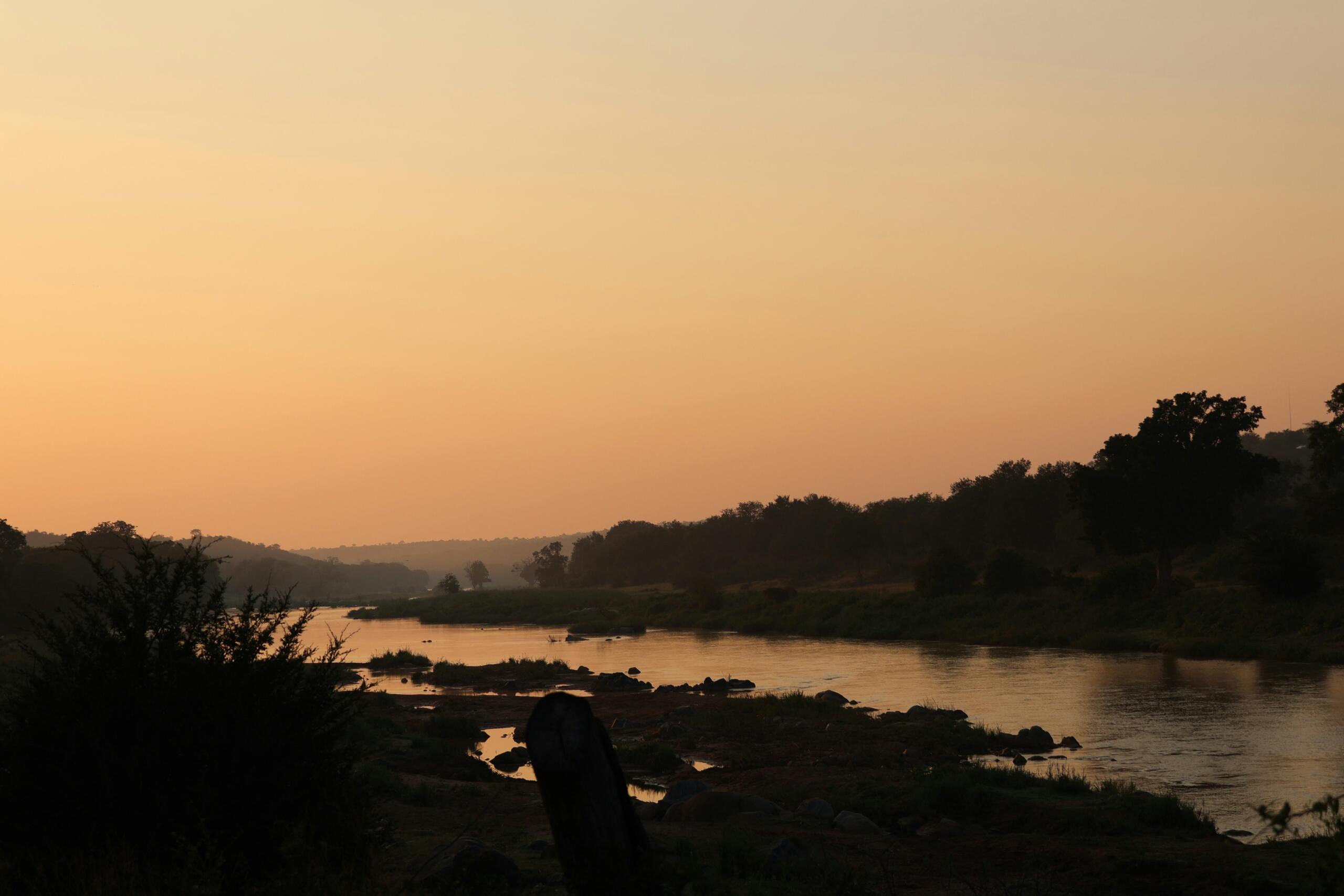
Rivers That Cross Borders
Many of the major rivers in South Africa do not stay within the country’s borders. They travel across multiple nations before reaching the ocean. The Limpopo River is a good example.
The Limpopo River forms part of the boundary between South Africa, Botswana, and Zimbabwe before flowing eastward into Mozambique.
Because of this, international agreements are required to manage water usage because farmers, cities, and conservation areas all rely on the same shared water systems.
Understanding which river is the longest in South Africa helps explain why the Orange River basin is so important for agriculture and hydroelectric projects.
These rivers also support large irrigation schemes in dry regions. Vineyards in the Northern Cape depend on water from the Orange River system, showing how the major rivers in South Africa sustain farming in otherwise arid landscapes.
For a closer look at ecosystems formed by flowing water, read our article which explains how rivers create fertile plains and wetlands. These environments often develop around the major rivers in South Africa.
Outdoor Classrooms for Learners
Freshwater landscapes are perfect for hands on learning. If you are a parent, teacher, or tutor, visiting rivers and waterfalls can bring geography lessons to life.
For example, when you explore the rivers of South Africa, you can observe:
These experiences help learners understand concepts that are often difficult to visualise in a classroom.
Many teachers also organise excursions to waterfalls or dam systems so that learners can see how water moves through the environment. Visiting the highest waterfall in South Africa or exploring rivers in local nature reserves turns abstract geography into something memorable.
The same is true when exploring lakes in South Africa, especially large dams that demonstrate water storage and management.
Ideas for Tutors and Parents
If you are helping a learner with geography or natural sciences, freshwater sites can be wonderful project topics.
Here are a few ideas you can try.
Field Trip Projects
Visit a local river and measure water speed using a floating object
Identify plant and bird species near the riverbank
Sketch the shape of the river valley
Waterfall Observation Tasks
You could even ask a learner to research which river is the longest in South Africa and trace its route on a map. This type of project often leads to discussions about the major rivers in South Africa and how they shape settlements and agriculture.
Discover how mountain ranges influence rivers in our companion article, which explores the dramatic highlands where many of the rivers of South Africa begin their journeys.
Exploring South Africa’s Wider Geography
Remember that the mountains where rivers begin, the grasslands they cross, and the climate that feeds them all play a role.
If you want to explore these topics further, you might enjoy reading our article about South Africa's climate and weather patterns, which explains how rainfall shapes the country’s water systems.
A Landscape Shaped by Water
When you look at a map, it becomes clear how rivers, lakes, and waterfalls connect the country’s landscapes. From mountain springs to wide river valleys, water is constantly shaping the land.
Whether you are hiking near the highest waterfall in South Africa, exploring lakes in South Africa on a family holiday, or tracing the major rivers in South Africa on a classroom map, you are seeing the story of the country’s geography unfold.
And the next time someone asks which river is the longest in South Africa, you will know that the answer is more than a simple fact. It is part of a much bigger picture about how water sustains life across the entire country.
Summarise with AI:
Enjoyed this article? Leave a rating!