
When you travel from the misty peaks near Clarens to the dry stretches outside Upington, you are given the perfect example of the diverse geography of South Africa that, when we look closely enough, we can see that we live with it every day. In essence, the land beneath your feet influences where you go to school, how cities grow, what food is farmed nearby and even how communities plan for the future.


Why Geography Matters for Learners and Tutors
Understanding the geography of South Africa helps you make sense of how landscapes shape opportunity. It also helps you appreciate why the country supports such a rich mix of ecosystems, cultures and industries.
From coastal humidity in Durban to winter frost on Highveld mornings in places like Heidelberg, the climate in South Africa creates distinct ways of living. You might notice this in school sports schedules, farming cycles or even the design of buildings in your neighbourhood.
In this article, you will find out how South Africa physical features influence your daily environment. To explore this further, you can also read our article on South Africa's climate and weather patterns, which looks more closely at seasonal systems that affect your region.
You may wonder why it matters to study the geography of South Africa beyond memorising maps. In reality, this knowledge connects directly to subjects you encounter at school. Geography links with biology when you study biodiversity. It links with environmental science when discussing sustainability. It even connects with history when examining settlement patterns.
In classrooms from Pretoria Boys High to schools in Khayelitsha, learners begin to see how South Africa physical features affect:
- Agriculture
- Agriculture
- Conservation
As you learn about South African rivers, you will also begin to understand water security. This becomes especially important in provinces such as the Western Cape, where drought has shaped policy and daily life.
Similarly, examining South African mountain ranges gives insight into rainfall patterns and biodiversity zones. Remember that connections like these make geography a living subject rather than an abstract one.
For more details on land formations, read our article on the escarpments and mountains of South Africa, which expands on how elevation shapes both climate and vegetation.
The Influence of Climate Across the Country
The climate in South Africa varies dramatically from region to region. In the Western Cape, Mediterranean conditions bring wet winters and dry summers. In contrast, Limpopo experiences summer rainfall and warm winters.
This diversity shapes everything from wine farms in Stellenbosch to cattle ranching near Polokwane and also influences ecosystems such as the Fynbos of the Cape Floral Region and the savannahs of Mpumalanga.
Understanding the climate in South Africa helps you appreciate why agriculture differs between provinces. It also explains why certain wildlife thrives in specific regions.
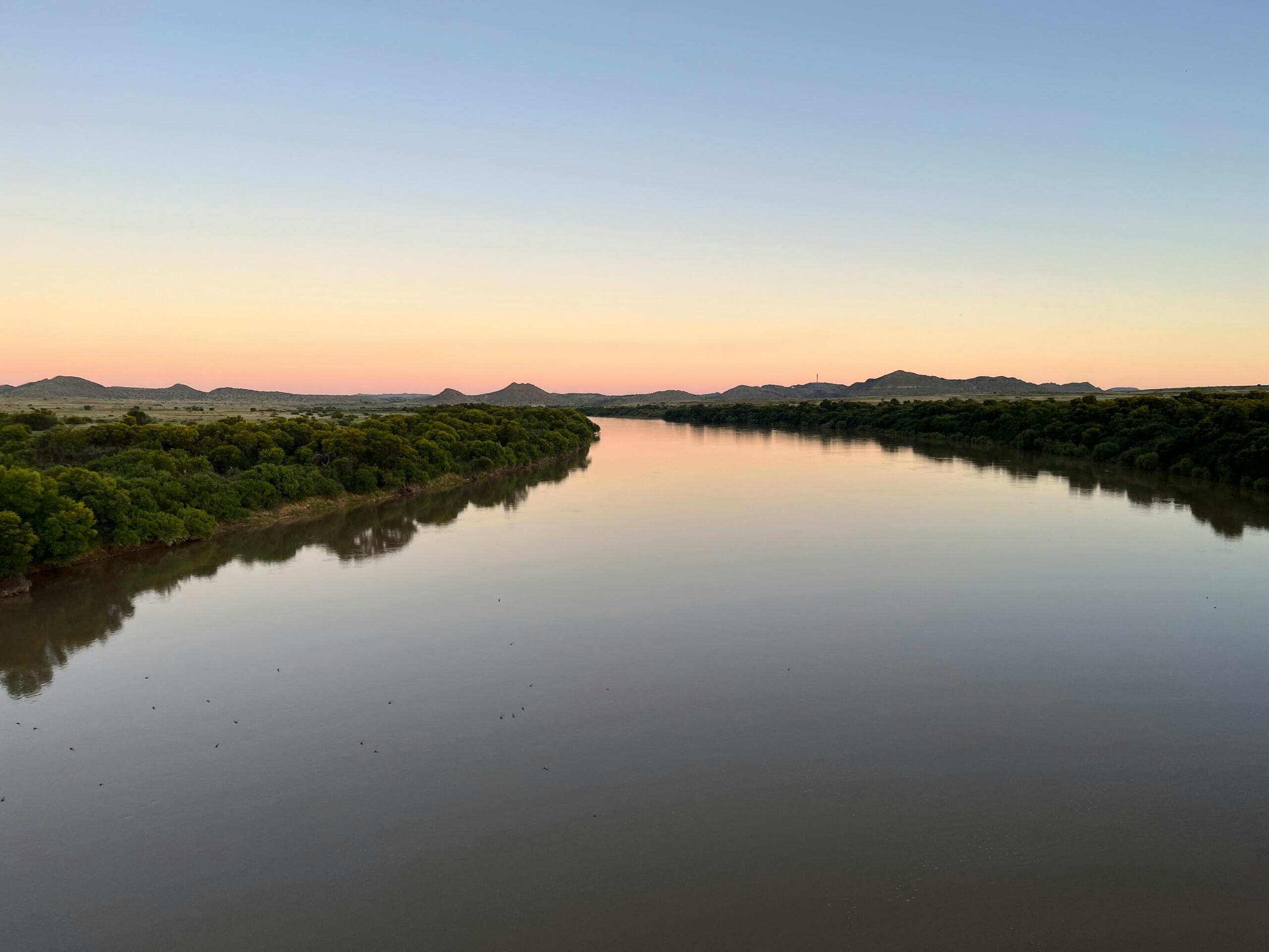
As you begin to understand how rainfall interacts with terrain, you will see how South African rivers such as the Orange River and the Limpopo River sustain farming communities.
Mountains and Escarpments
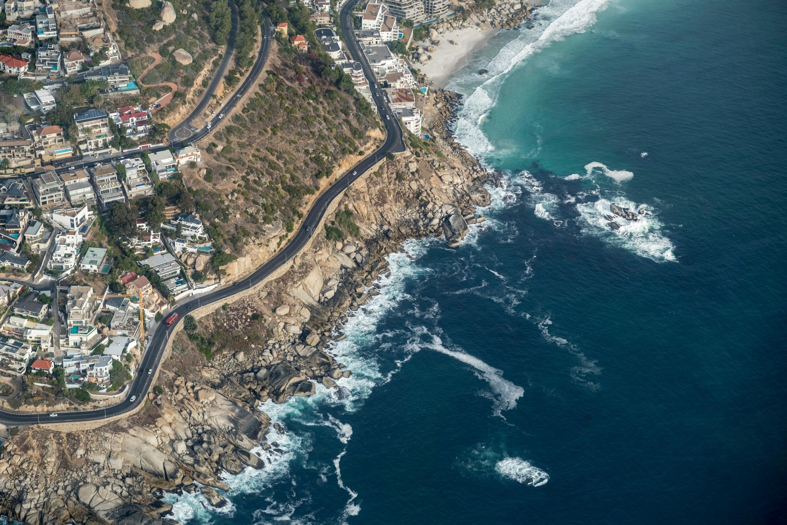
Remarkably, the dramatic outlines of South African mountain ranges are visible from many towns and cities. The Drakensberg in KwaZulu-Natal, which heavily influences weather and water flow, stands out as one of the iconic views from many of the province's rural towns. Similarly, Cape Town is perhaps the best urban example of how a mountain forms part of the city's landscape.
In fact, these highlands are central to the geography of South Africa because they shape rainfall distribution when moist air from the Indian Ocean rises against the mountains, creating precipitation that feeds vital South African rivers.
Understanding South African mountain ranges helps explain biodiversity. Higher elevations support different plant and animal life compared with low lying savannahs.
Grasslands and Savannahs
The Free State and parts of North West Province boast vast open grasslands. These areas represent significant South Africa physical features for supporting agriculture and grazing.
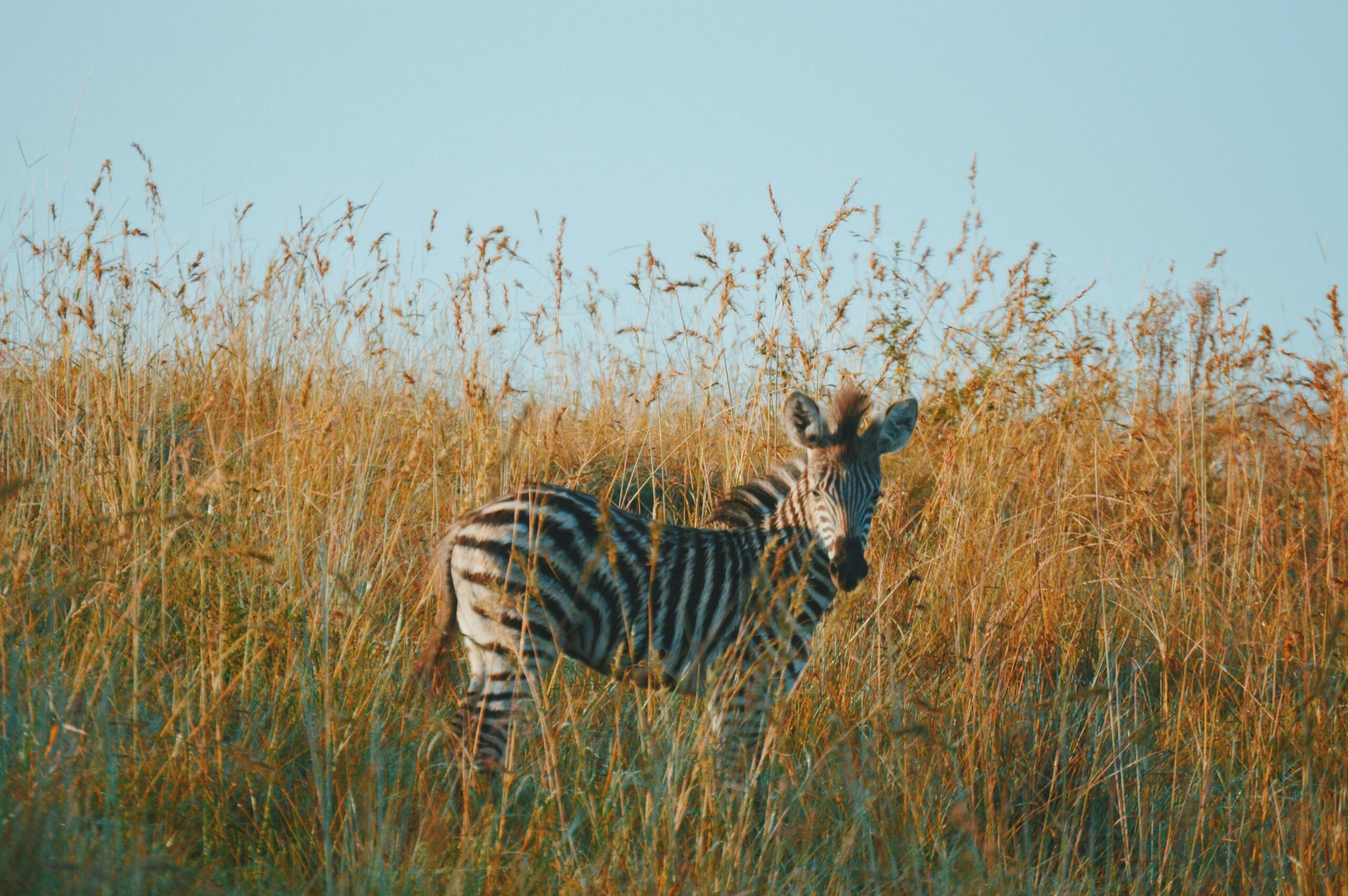
Savannahs in regions like the Lowveld form a major component of the geography of South Africa as they host wildlife reserves and contribute to tourism.
These landscapes are shaped by the climate in South Africa, particularly seasonal rainfall patterns. In addition, they also influence how South African rivers flow across plains, creating fertile soils that support farming communities.
You can read more about these ecosystems in our companion article, which explains how rainfall supports fertile plains.
Rivers and Water Systems
Water is one of the most vital aspects of the geography of South Africa and many major South African rivers such as the Vaal and Tugela provide irrigation, drinking water and hydroelectric potential.
The presence of these South African rivers also determines settlement patterns because towns typically develop along reliable water sources.
To fully understand the interaction between water systems and life in South Africa, don't miss our article The Lakes and Rivers of South Africa.
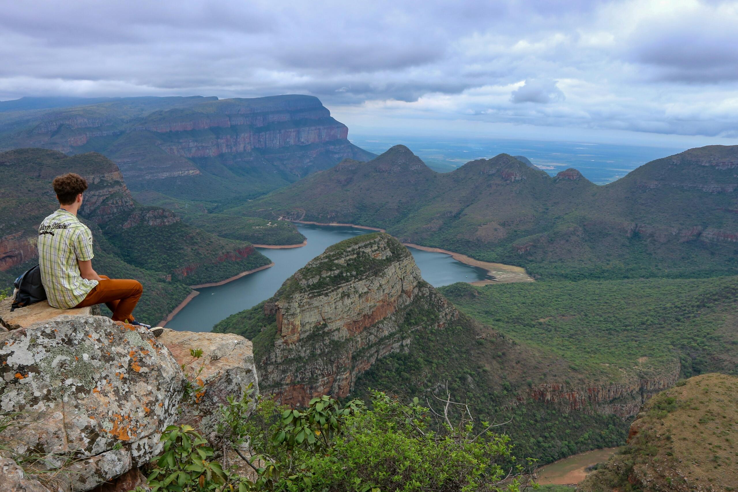
Canyons and Unique Landforms
South Africa’s landscape is life in full colour, something that is way beyond what you learn in class. Examples are everywhere. For instance, have you heard of the Blyde River Canyon?
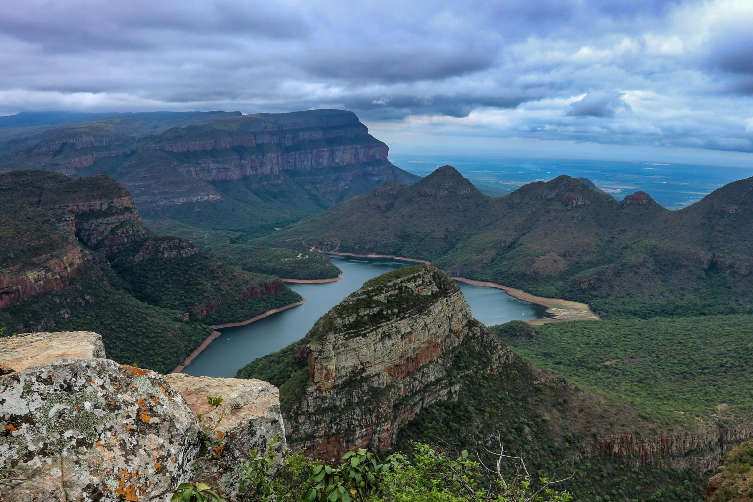
The Blyde River Canyon is a powerful reminder that time, pressure, and movement shaped this land long before any of us arrived. These dramatic formations show how erosion and deep earth forces worked together over millions of years to create spaces that now protect biodiversity and attract visitors from around the world.
It is here that you truly see how nature and conservation meet.
How Geography Shapes Risk and Daily Life
You might not always notice it, but geography quietly shapes your everyday life in South Africa. The place where you live determines your:
Geography also affects safety and infrastructure. When you start seeing these connections, geography stops being something that only lives in a classroom. It becomes something practical and immediate. Learners studying Life Sciences, Agricultural Science, or Environmental Studies can clearly see how ecosystems, climate, and landforms influence real decisions made every day in homes, schools, and municipalities across the country. Think about these examples and realities.
- Cape Town: Day Zero fear
- KwaZulu-Natal: Flooding concerns
- Highveld: Colder winters
- The Karoo: Scarce rainfall
- Eastern Cape: Strong winds
- Western Cape: Wildfire threats
- Low-lying settlements: Flooding risk
- Mpumalanga: Farmers rely on rainfall
Natural Geography and South Africa’s Economy
South Africa’s natural landscape does far more than create beautiful scenery. It plays a major role in how the country earns a living.
When learners begin linking physical landscapes to economic activity, subjects like Tourism, Business Studies, and Economic Geography become easier to understand. As you learn, you will see how natural features are not just background scenery, they are active participants in shaping opportunity, industry, and livelihoods across South Africa.
Geography as a Living Subject
Ultimately, the geography of South Africa is not just about landforms. It is about understanding how landscapes shape opportunity, culture and sustainability.
From the influence of South Africa physical features on agriculture to the importance of South African rivers and mountains for development, geography affects daily life. From climate to urban development, geography reminds that environment and society cannot be separated.
By exploring each part of this fascinating series, expect to gain a deeper understanding of how the natural world influences the choices and challenges faced by communities across the country.
Summarise with AI:
Enjoyed this article? Leave a rating!